Nordic Road Atlas & Engineering Almanac

Norway’s Ultimate Scenic Routes: Mountains, Fjords & Viewpoints

The Norwegian Public Roads Administration (Statens vegvesen) maintains 18 designated Scenic Routes stretching over 2,136 kilometres. Blending world-class geometric landscape architecture with challenging coastal archipelago roads and glaciated alpine passes, these routes represent one of the world's most sophisticated road trip infrastructures.

18 Official National Tourist Routes
2,136 Total Kilometres of Engineered Route
1,434 m Highest Mountain Pass (Sognefjellet)
150+ Architectural Rest Stops & Works

The Nordic Road Atlas System: Essential Driving Protocols

Navigating Norway’s topography requires disciplined preparation across toll automation, seasonal weather gates, and electric vehicle charging nodes.

01

AutoPASS & FerryPay Architecture

Norwegian highway tolls and vehicular ferries operate on automated overhead license plate scanning. Registering an AutoPASS transponder tag or linking a payment card via FerryPay ensures seamless transit without stopping at barrier gates.

02

Seasonal Passes & Winter Closures

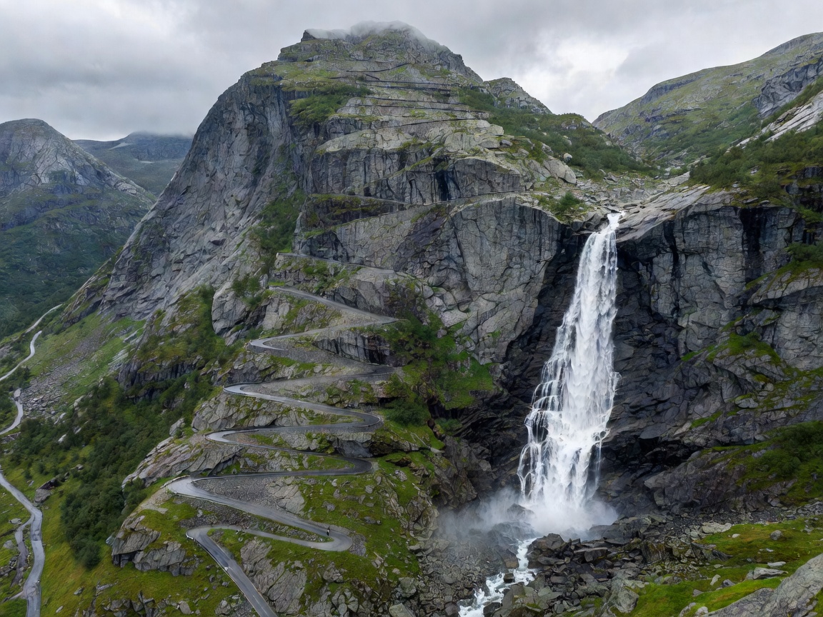
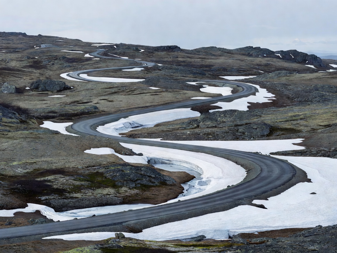
High-elevation routes such as Sognefjellet and Trollstigen are subject to heavy snowpack and seasonal winter closures from late autumn until late May. The national road report service (Vegvesen Trafikk) provides real-time mountain gate statuses.

03

Ultra-Fast EV Charging Corridors

Norway maintains one of the world's highest densities of DC high-power charging stations. Even on remote scenic segments, 150kW+ fast chargers are strategically located at municipality hubs, ferry berths, and roadside service plazas.